Marco Island Bridge Clearances & Boating Access
January 1, 2026
January 1, 2026
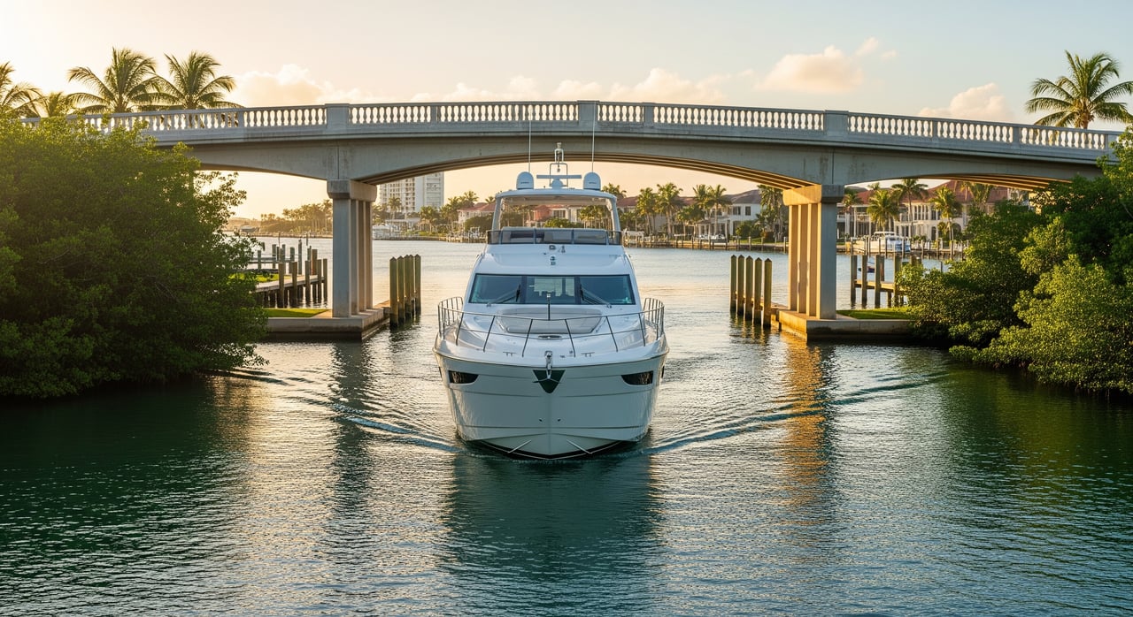
Will your boat clear the bridges between your dock and the Gulf? If you are eyeing a waterfront home on Marco Island, that answer shapes everything from daily runs to Caxambas Pass to weekend trips toward Naples. You want smooth, stress-free access, not a last-minute surprise at a fixed bridge. In this guide, you will learn how to match your vessel’s air draft and draft to neighborhoods and canal routes, where to find official clearance data, and how to verify details before you buy. Let’s dive in.
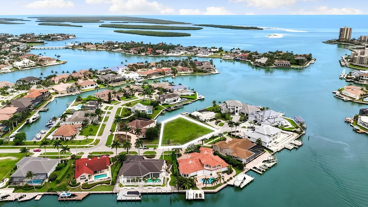
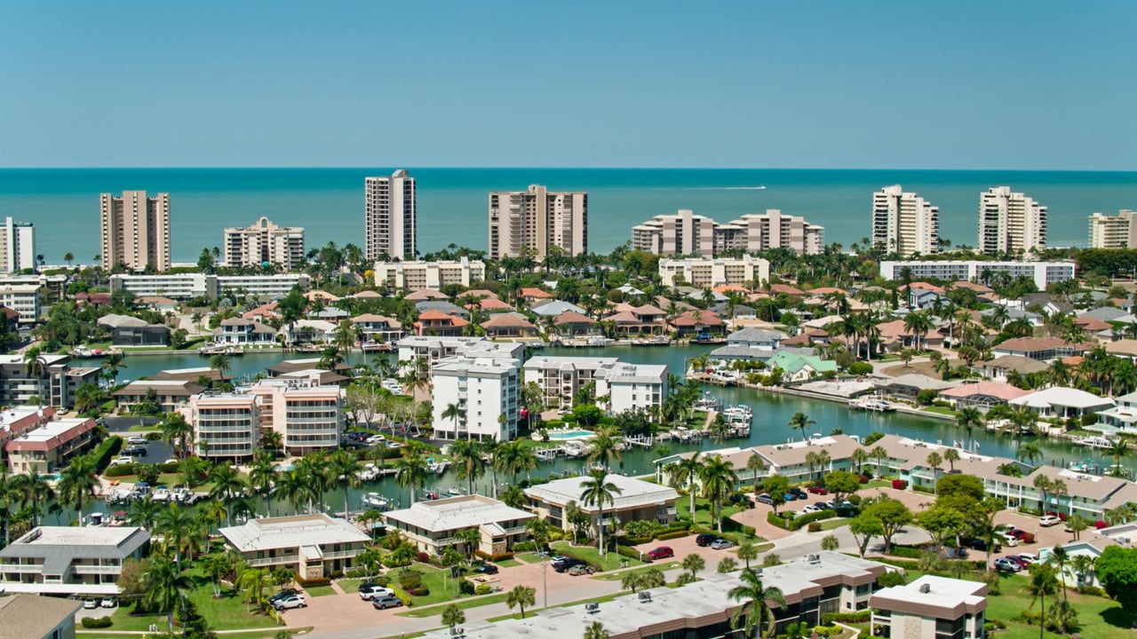
Marco Island offers a mix of interior canals, back bays, and marked channels that lead out to the Gulf. The southern end of the island flows toward Caxambas Pass, a primary deep-water outlet many boaters use to reach open water. Central and northern neighborhoods often route toward the Marco River and Naples Bay corridor, which can continue north or connect to nearby Gulf passes.
From most home docks, you will navigate through canals and back bays before reaching a marked channel and any fixed crossings along your route. Mapping that path early helps you understand whether your boat’s height and depth fit the local constraints.
Most crossings in Southwest Florida’s residential areas are fixed bridges. These list a published vertical clearance, which is the height above the water referenced to a tidal datum such as Mean High Water or Mean High Tide. Movable bridges are less common on smaller barrier islands; if one is present on your route, it will have U.S. Coast Guard regulations and an opening schedule.
Your boat’s air draft must be lower than the actual clearance at the time you pass. Since tides change water level, the real clearance may be lower at higher tides and higher at lower tides. Always compare your measured air draft to the published clearance, adjusted for expected tide, and leave a safety buffer.
Waterfront properties on Marco Island vary widely in boating access. Matching your boat type to the right canal network is essential.
These locations typically connect to deep, marked channels without low fixed bridges in the way. Listings may mention terms like direct Gulf access or no fixed bridges to the Gulf. These homes tend to suit sailboats with fixed masts and large sportfishing boats with tall towers, though verification is still required for your exact route.
Many canal neighborhoods sit behind one or more fixed bridges with moderate clearances. These often work well for center consoles, runabouts, and bay boats, along with trailerable sailboats or boats that can lower arches or antennas. Always evaluate bridge heights and canal widths against your vessel.
In some interior canals, narrow entrances, shallow spots, or small fixed crossings limit both air draft and beam. These areas can be perfect for kayaks, small inflatables, and shallow-draft skiffs but are not suitable for tall masts or high towers.
A little homework upfront can save time and money. Build your route checklist and confirm every assumption early in your search.
Measure air draft: From the waterline to your highest fixed point while loaded for cruising. Include radar, T-tops, antennas you plan to keep up, and stacked gear.
Map the route: Trace the path from the dock to the Gulf or your primary destination. Note every bridge and pinch point between your canal and the nearest pass.
Pull official data: Gather each bridge’s name, type, published vertical clearance, and the tidal datum used. Confirm the measurement date where possible.
Check tides: Use local tide predictions for your planned transit time and adjust the published clearance for expected water level. Leave a safety buffer.
Verify depth: Review charted depths for canal entrances and channels, and ask local marinas about shoaling after storms or seasonal changes.
Call a local authority: A quick conversation with a marina, harbormaster, or county marine patrol can confirm any changes since the last survey.
Southwest Florida’s tidal range is modest, but it still matters. High tides, king-tide events, and storm surge can reduce safe clearance under fixed bridges. Conversely, low tides increase clearance but may reduce available depth in shallow canal entrances.
Storms can shift shoals and change channel shapes. Local dredging schedules and recent marina updates are useful when you plan a route. Always combine official charts with on-the-water knowledge gathered close to your closing date.
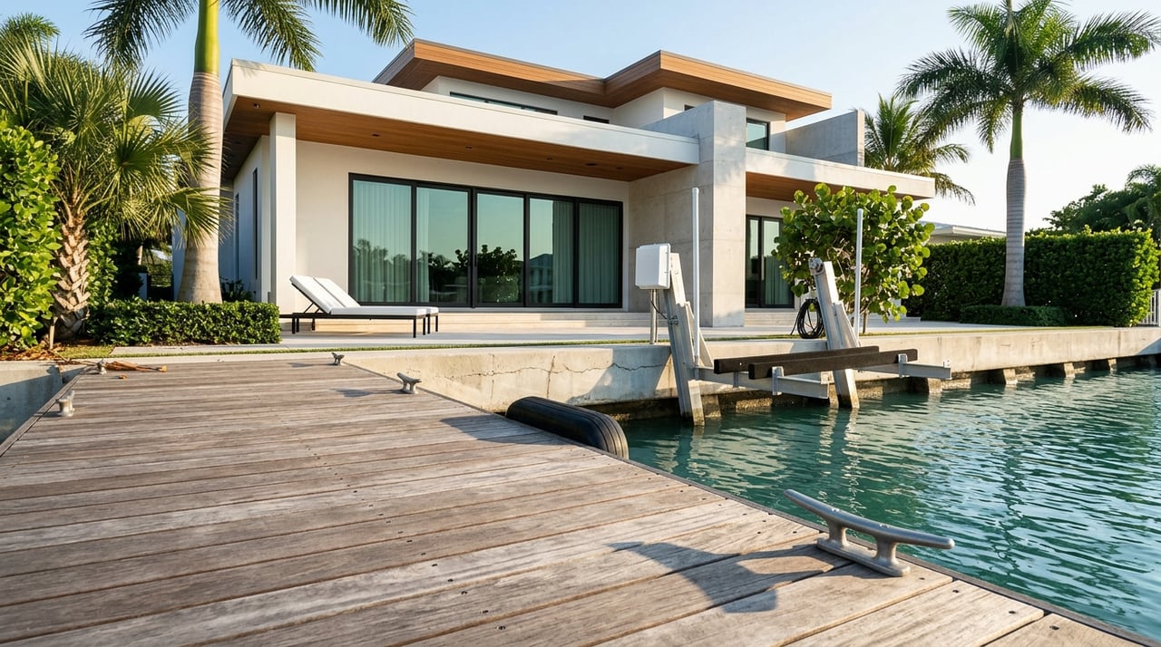
Collier County and some HOAs regulate dock sizes, boat lifts, and vessel dimensions at private docks. Check those rules during your inspection window and before investing in new lift equipment. In addition, local no-wake zones, speed limits, and mangrove protections influence how quickly and comfortably you can reach open water.
If you plan to keep a tower, radar, or fixed arch, factor the lift’s geometry into your clearance. Sometimes the path off the lift is the limiting factor, not the bridge.
You still have great options if your current vessel does not match a preferred neighborhood’s bridges or depths.
If you like to organize details, build a simple worksheet as you compare homes. Capture:
Before you finalize a purchase decision, validate your worksheet by: checking bridge clearances against U.S. Coast Guard or FDOT records, reviewing NOAA charts for depths and aids to navigation, confirming tide windows for your typical run, and calling at least one local marina for current conditions.
The right waterfront home should fit your lifestyle on and off the water. When you match your boat’s air draft and draft to the canal network and bridge profile, everyday boating becomes easy and fun. As local stewards with deep roots on Marco Island, we help you evaluate access, verify data with official sources, and connect with the right marine contacts so you can buy with clarity.
Ready to align your boat and your next home? Explore neighborhoods, routes, and listings with the Becky Irwin Group.
Real Estate
July 24, 2026
July 23, 2026
July 16, 2026
Marco Island
July 10, 2026
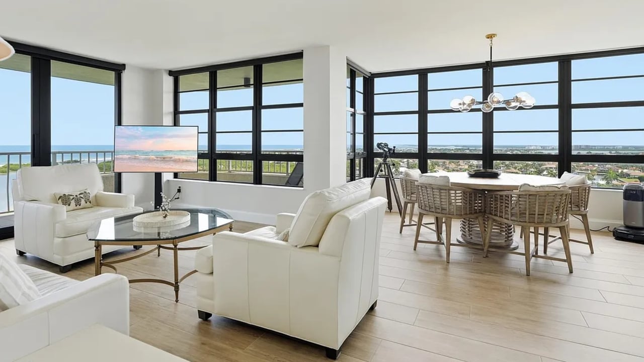
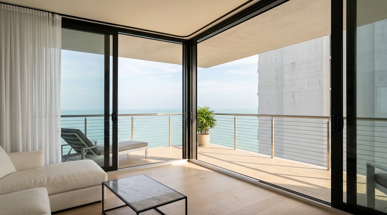
Rare 15th-floor corner unit in South Seas Tower 4, Marco Island. 2BR/2BA with Gulf views, resort amenities & weekly rental flexibility. $899,000. Tour today.
July 9, 2026
July 2, 2026
June 25, 2026
June 18, 2026
Marco Island
June 11, 2026
Understanding both the advantages and considerations can help you determine whether gated community living aligns with your lifestyle and long-term goals.
Explore unparalleled real estate expertise with a dedicated team committed to helping clients find their dream home. They are committed to client satisfaction and ensure a seamless and enjoyable real estate experience. Let them guide you through your home buying journey.

830 BALD EAGLE DR MARCO ISLAND FL 34145